01. Physical & Land Use Planning
Spatial and land-use plans, zoning frameworks, local physical and land use development plans, subdivision planning, change-of-user support and development-control advisory.
Checklands Africa Consultants Limited brings together planning, geospatial, land and built-environment expertise to help clients make informed decisions and deliver sustainable development.
Checklands Africa Consultants Limited is a multidisciplinary consultancy focused on physical and land use planning, geospatial intelligence, land and property advisory, and the built environment.
We work with clients to understand the opportunities and constraints of land and development projects, coordinate the right technical expertise, and support informed decisions from early assessment through to project implementation.

Explore our service areas. Select any service to view its scope and the types of solutions that can be coordinated for your project.

Development plans, zoning, land-use planning, subdivisions and change of user.
Explore service →Spatial analysis, GIS mapping, land suitability, remote sensing and geospatial databases.
Explore service →
Topographical, cadastral, boundary, engineering and subdivision surveys.
Explore service →
Land due diligence, site inspections, acquisition advisory and development potential assessments.
Explore service →
Property valuation, market assessment, development appraisal and investment analysis.
Explore service →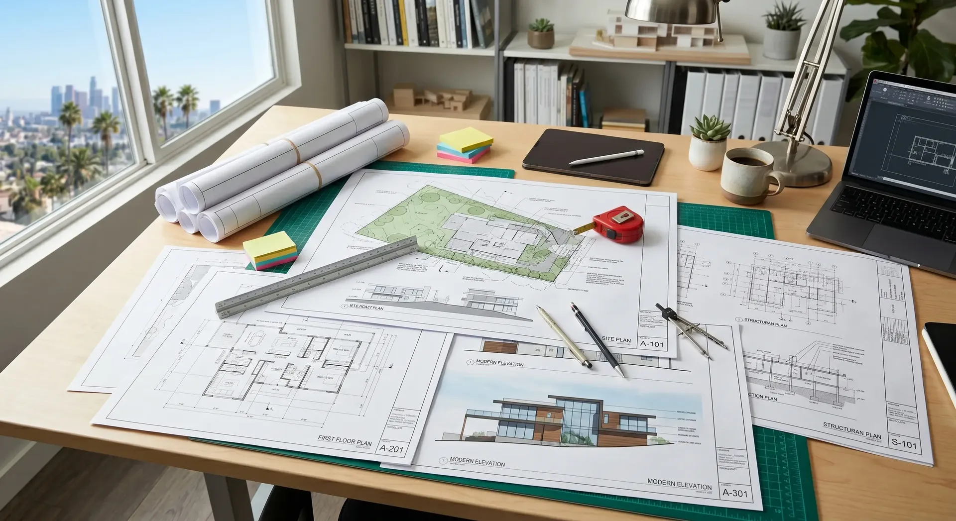
Concept design, floor plans, elevations, sections and architectural working drawings.
Explore service →
Structural design coordination, foundation plans, reinforcement detailing and drawings.
Explore service →
Bills of quantities, cost estimates, cost planning, tender documents and cost control.
Explore service →Development permissions, planning applications and building-plan coordination.
Explore service →Environmental assessments, EIA coordination, management planning and sustainability.
Explore service →Feasibility studies, baseline surveys, field research and technical reports.
Explore service →Infrastructure layouts, site development plans, utilities planning and master planning.
Explore service →Each service is tailored to the needs, context and scale of the assignment. Contact us to discuss a specific requirement.
Spatial and land-use plans, zoning frameworks, local physical and land use development plans, subdivision planning, change-of-user support and development-control advisory.
GIS database development, thematic mapping, spatial modelling, land suitability analysis, remote-sensing interpretation, geospatial visualisation and decision-support mapping.
Topographical and engineering surveys, cadastral and boundary survey assignments, subdivision survey coordination, field data capture and survey mapping.
Land and site due diligence, site inspections, land-use and development potential reviews, acquisition support and property-development advisory.
Land and property valuation, market assessments, development and investment appraisal, and valuation-related advisory.
Architectural concepts, space planning, floor plans, elevations, sections, presentation drawings and coordinated construction documentation.
Structural design services, foundation and framing plans, structural calculations, reinforcement detailing and technical drawing coordination.
Preliminary cost estimates, cost plans, bills of quantities, tender documentation, procurement support, valuations of work and cost monitoring.
Planning and development application coordination, change-of-user support, development permission processes and coordination of building-plan submissions.
Environmental and social baseline support, environmental assessment coordination, environmental management planning and sustainability-oriented development advice.
Project feasibility studies, site and market research, baseline studies, field investigations, data analysis, technical reports and project concept assessment.
Site development planning, infrastructure and utility layouts, access and circulation planning, development frameworks and coordinated master planning.
Checklands works through a professional network of technical specialists and collaborators. Depending on the scope of an assignment, we coordinate the relevant expertise to provide connected, practical solutions for clients.
We focus on understanding the assignment, defining the right technical response and keeping clients informed throughout the process.
We listen to your objectives, review the site or project context and clarify the required outcomes.
We identify opportunities, constraints, information needs and the relevant professional inputs.
We bring together the appropriate technical expertise and agree on a clear scope of work.
We coordinate the agreed outputs, communicate progress and support informed next steps.
A space for practical commentary, technical insights and updates relevant to planning, property and geospatial practice.
Understanding land-use context, planning controls and site constraints helps shape informed development decisions.
GIS brings together location-based information to reveal patterns, compare options and support planning.
Bringing the right professionals into a project at the right time connects design, compliance and cost considerations.
Tell us what you are planning. We can help identify the appropriate service and technical inputs for your next step.
For project enquiries, service information, partnerships or requests for a quotation, get in touch with our team.